When did the Army Corps of Engineers last pump offshore sand onto Manasquan's beach? According to the Corps' own October 2025 draft reevaluation report, it was the Hurricane Sandy repair contract. That job placed 1,290,909 cubic yards between Belmar and Manasquan from August 2013 to April 2014. The federal project that covers this beach calls for periodic nourishment every six years.
That gap is the backdrop for a short notice the borough posted on October 29. It said the Corps planned subsurface soil sampling and geotechnical testing on Manasquan Beach "as part of the Sea Bright to Manasquan project." Work was expected to start Monday, November 2, and run about four to five days, with equipment staged in a designated part of the Sea Watch parking lot. The borough's notice also said more testing may happen later. Since 2014, what has held Manasquan's beach in place is older and smaller than the federal program that testing belongs to.
A Six-Year Cycle the Southern Section Keeps Missing
The Sea Bright to Manasquan project covers 21 miles of Monmouth County shoreline. Its design calls for a beach berm 100 feet wide, and NJDEP, as the non-federal sponsor, pays 35 percent of the cost. The project is split into two parts. Section I runs 12 miles from Sea Bright to Loch Arbour. Section II runs 9 miles from Asbury Park to the Manasquan Inlet. In the Corps' planning, Manasquan sits in Section II's Reach 5 along with Belmar, Spring Lake and Sea Girt. Avon-by-the-Sea is in Reach 4.
The cycle is authorized at six years, but the draft reevaluation report says plainly that Section II "historically has been nourished less frequently." Roughly 9.5 million cubic yards went onto Section II between 1997 and 2025. Most of that came in the original construction fills of 1997 through 2000 and the Sandy repairs of 2013 and 2014.
The two most recent contracts went north of Manasquan. The Corps fact sheet, updated October 14, 2026, says fiscal 2022 and 2023 money paid for placement at Elberon, Monmouth Beach and Sea Girt. That work finished in March 2024. The next contract was awarded in September 2026 for Sea Bright, Monmouth Beach and Long Branch, with 1.3 million cubic yards scheduled to go down between December 2026 and April 2027. The pumping planned for this winter is at the far end of the project, roughly 20 miles up the coast.
What the September Nor'easter Found
The cost of that gap showed up after the late-September storm. NJDEP's Office of Coastal Engineering inspected the coast from September 28 through 30. Its October 2 damage assessment covered 81 reaches statewide: 53 had minor erosion, 18 moderate and 10 major. On this stretch of the Monmouth shore, Manasquan was the only town rated above Minor.
| Town | Sloped beach erosion | DEP rating |
|---|---|---|
| Avon | Up to 145 ft, up to 4 ft high | Minor |
| Belmar | Up to 140 ft, up to 7 ft high | Minor |
| Spring Lake | Up to 150 ft, up to 3 ft high | Minor |
| Sea Girt | Up to 135 ft, up to 5 ft high, plus about 180 linear ft of dune scarping | Minor |
| Manasquan | Up to 140 ft, up to 6 ft high, with sporadic minor scarping | Moderate |
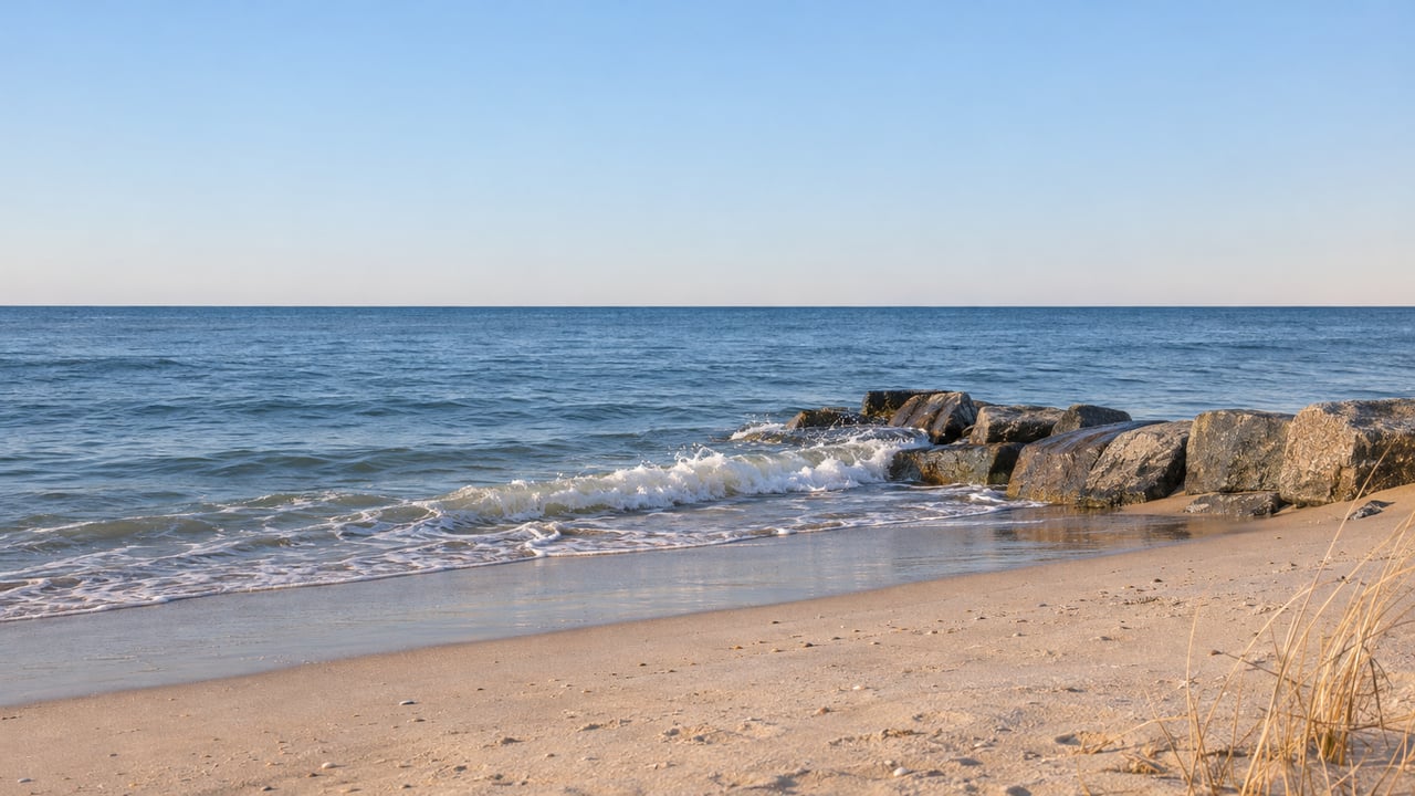
Manasquan's storm also exposed what lies under its sand. On October 1, News 12 reported that the storm had stripped the sand covering the borough's groin system, which is more than 80 years old.
The Groins Under the Sand
The groins that reappeared in September are the oldest part of the system holding Manasquan's beach together. Appendix B of the Corps' draft report counts 15 groins inside the borough line, numbered 173 through 187. Eight of them are timber, left from a set of twelve built between 1939 and 1941. Those were put in to reduce the erosion caused when the Manasquan Inlet jetties went up in 1931.
The report describes those timber groins as extensively deteriorated and "ineffective in trapping sediment." The rest are stone and date from 1931 to 1967, including groin 187, which is the north jetty at the inlet. Only two of the 15, numbers 180 and 187, are rated in good to fair condition. Giant concrete dolosse have been set along the edge and end of the jetty's seaward section.
So the borough's beach starts with a problem the jetties created nearly a century ago. It relies on hardware built to fix that problem, and most of that hardware no longer holds sand well.
Sand From the Inlet Side
Between federal fills, Manasquan has had a second, smaller source of sand. Appendix B quotes the sediment budget from the Corps' 1994 General Design Memorandum. That budget estimated that about 22,000 cubic yards of fill from Manasquan Inlet were placed on the borough's beach each year, and that about 11,000 cubic yards of it were lost offshore. At that rate, it would take nearly six decades of inlet placements to equal the single Sandy repair contract of 2013 and 2014.
The same 1994 budget found that cross-shore erosion was greater in Reach 5, Manasquan's reach, than in Reach 4 to the north. Avon gets its own steady supply from the Shark River Inlet. The Corps' New York District dredges that inlet one to two times a year on average and places the material on Avon's beach.
Smaller deliveries still reach the Manasquan waterfront. In April 2026, News 12 reported that sand and debris dredged from the Wills Hole Thorofare channel were being piped to Fisherman's Cove beach as part of a boating-safety project. Those inlet and channel loads keep sand moving onto the shoreline. They come nowhere near the volumes of a federal beachfill.
What the Sea Watch Testing Belongs To
The work at Sea Watch is listed under the Sea Bright to Manasquan project, which is partway through a major redesign. The draft reevaluation report names a tentatively selected plan called Alternative 3e. It would build one uniform profile across all of Section II: a dune with its crest at 16 feet above the NAVD88 datum, and a berm 100 feet wide. The plan calls for 2,155,000 cubic yards of initial fill during the scheduled 2031 renourishment cycle, then 2,454,000 cubic yards every six years in 2037, 2043 and 2049.
The draft also expects an ongoing borrow-area study to find a permitted sand source closer to Section II. For comparison it uses the existing Sea Bright Offshore Borrow Area. NJDEP's federal projects status table lists the project's anticipated nourishment as "TBD." Until a final report is approved and money is set aside, the 2031 date and the 16-foot dune remain a draft plan.
Between Now and the Next Load of Sand
The quicker route to sand runs through Trenton. On October 16, the Sherrill Administration asked the Corps for expedited emergency help under Public Law 84-99 for eight project areas damaged in the nor'easter, and the Sea Bright to Manasquan project was on the list. DEP Commissioner Ed Potosnak said many Corps-maintained beaches "are now extremely vulnerable heading into the winter season." Manasquan Mayor Michael W. Mangan was quoted in the state's news release:
"Federal investment is what lets a borough of 6,000 people and tens of thousands more, rebuild for the next century instead of the next storm."
The release records the state's request. Any approval and repair schedule would come from the Corps. These are the dates now on the calendar:
- December 2026 through April 2027: 1.3 million cubic yards scheduled for placement in Sea Bright, Monmouth Beach and Long Branch.
- January 2027: the final reevaluation report is scheduled to be submitted for approval, according to the Corps study page.
- July 2027: scheduled Chief's Report, the next step in the study.
- 2031: the renourishment cycle in which the draft plan would build the new dune and berm across Section II.
The borough's notice names Borough Administrator Rich Read as the contact for questions about the beach testing and says schedule updates will be posted as they become available.
How Manasquan's shoreline is cared for, from the condition of the groins to the timing of each delivery of sand, affects every stretch of the beach, from the inlet to the Sea Girt line. Shire Realty has watched these cycles from our Manasquan office for more than 40 years. If you'd like to talk through what the beach work means for a property near the water, speak with a Jersey Shore real estate expert on our team.